For a Way of the Hunter 2 map showing animal need zones and hunting locations, open New Laurentia on Shackmaps. Its markers include campsites, cabins, and hunting stands, helping you plan where to explore. A separate Hearth & Hunt Headquarters map is also available.
Choose the map for your destination
New Laurentia is the Canadian hunting area. Its Shackmaps page organizes markers into Animals, Infrastructure, and Locations, so start with the category that matches your immediate goal: finding wildlife, checking an obstruction, or locating a campsite.
Hearth & Hunt Headquarters has its own entry in the Shackmaps game index. You can also reach it through the map selector at the upper left of the New Laurentia page.
Kilimaya Reserve, set in Africa, is another base-game area listed by the Way of the Hunter Wiki. The Shackmaps index lists New Laurentia and Headquarters, with no Kilimaya entry. Use the in-game map when exploring that reserve.
Find campsites, cabins, and hunting stands
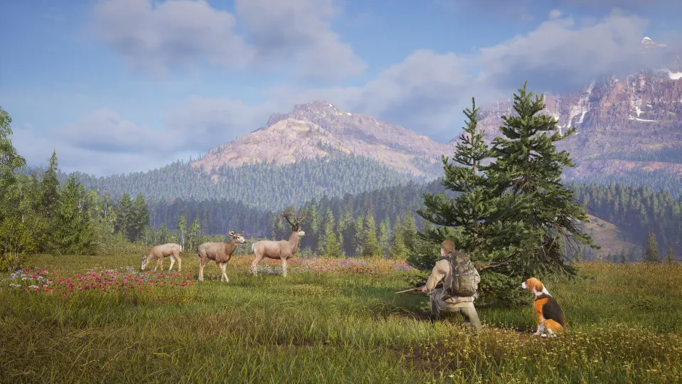
The New Laurentia map lists the following location markers. These numbers describe entries on the external map, rather than your personal discovery progress.
| Location type | Listed markers | Planning use |
|---|---|---|
| Campsite | 16 | Identify campsites around the area you intend to explore. |
| Cabin | 3 | Locate a cabin before planning a visit. |
| Hunting stand | 10 | Compare stand locations with nearby animal markers. |
| Lodge | 1 | Find the reserve's main lodge. |
Shackmaps and SG Hunter's New Laurentia overview agree on the 16 campsites and three cabins. SG Hunter also describes the reserve as approximately 10 by 10 kilometers, with mountains, forests, lakes, rivers, and wetlands. Choosing a smaller search area can make a first visit more manageable.
Infrastructure markers provide another useful layer. Shackmaps identifies damaged bridges, boulder obstructions, habitat enhancements, and other environmental features. Check these around your intended route, then confirm their condition in your game before relying on a particular crossing or approach.
Use animal markers and need zones
Start with the species you want to find. New Laurentia's Shackmaps categories include white-tailed deer, western moose, wood bison, grizzly bear, northwestern wolf, and smaller animals such as snowshoe hare.
Keep species markers and activity timing together when planning a hunt. A New Laurentia hotspot guide on YouTube explains that its highlighted areas indicate places to search, rather than guaranteed exact animal positions.
A practical approach is to:
- Pick one species and one part of the reserve. Use the relevant animal category to narrow your search.
- Match the search to the activity. The hotspot guide recommends searching land for feeding or resting animals and nearby water for drinking activity.
- Check sightlines before moving closer. For white-tailed deer, the guide recommends elevated positions that overlook surrounding terrain.
- Record useful discoveries. Shackmaps supports personal custom pins, allowing you to mark locations you want to revisit.
For a specific starting point, the hotspot guide recommends looking for white-tailed deer around 7:00 a.m. during feeding activity, particularly in northern and western New Laurentia. It highlights the northwest and southwestern river systems as promising search areas.
Treat that time as the creator's hunting recommendation. It is not a guarantee that a herd will occupy a particular marker at exactly 7:00 a.m., and the guide explains that activity can continue beyond the suggested hour.
FAQ
Where can I find a way of the hunter 2 map with need zones?
The New Laurentia Shackmaps page includes animal need zones alongside location and infrastructure markers. Select the relevant animal category when planning a species-focused search.
Can I save discoveries or add missing locations?
Shackmaps advertises completion tracking and suggested pins for free account holders. It also supports custom pins for personal map notes. Use suggestions for locations you believe should appear on the shared map and personal pins for your own reminders.
Does every animal marker represent one animal?
Do not read the category counts as a live wildlife census. They count map entries. For the YouTube hotspot guide specifically, the creator describes dots as herd indicators with associated zones; those dots do not promise an individual animal at an exact position.